UK Postal Codes Explained: The Truth About Postcodes in Britain (2026)
A UK postcode isn’t just clerical trivia—it’s a powerful locator that drives deliveries,
In Britain, a postcode is a precision tool. It decides where your post goes, how emergency services find you, how insurers price risk, how deliveries are routed, and how governments measure entire neighbourhoods.
Miss one character, and you’re no longer “a bit off”. You’re in a different system entirely.
This Isn’t About Zip Codes (Britain Doesn’t Have Them)
One of the biggest misunderstandings in 2026 is still this: the UK does not use zip codes.
That term is American. Britain uses postcodes, and they work very differently.
A UK postcode can identify a handful of houses, a single building, or even one large organisation. In dense areas, one postcode can cover fewer than ten addresses.
This is why they’re used far beyond mail — from NHS planning to sat‑nav routing and online fraud checks.
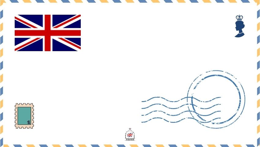
The Correct Format for a UK Postal Address (Still Gets This Wrong in 2026)
Royal Mail hasn’t changed the fundamentals — but people still ignore them.
This is the correct British format:
Name of recipient
House number and street
Locality (if needed)
TOWN OR CITY (ALL CAPS)
FULL POSTCODE (ALL CAPS)
Example:
Mr John Smith
123 High Street
Little Village
LONDON SW1A 1AA
What most people don’t realise is why this matters.
Sorting machines read postcodes from the bottom line upwards. If the town or postcode is wrong — even slightly — everything above it becomes irrelevant.
- No commas or full stops
- Left‑aligned text only
- Town and postcode in capitals
- Return address on the back
Sending mail abroad? Add the country name on the final line, in English:
Ms Jane Doe
456 Main Street
Big City
ONTARIO L4B 1C2
CANADA
How UK Postal Codes Actually Work
Every full UK postcode has two parts. Not by accident. By design.
- Outward code (2–4 characters)
- Inward code (always 3 characters)
The outward code routes mail to the correct area. The inward code gets it to the exact delivery point.
Example:
GL51 0EX
GL = Gloucester area
51 = Cheltenham district
0 = sector
EX = delivery unit
Those compass letters you see — N, SW, WC — aren’t decorative. They are historical routing zones that still control how mail flows through Britain.
London Postal Codes (Not Just One)
London does not have a single postcode.
It has eight core postcode areas:
E, EC, N, NW, SE, SW, W, WC
EC1A is a valid London example — but it only covers a tiny part of the City.
Major UK City Postcode Areas (Corrected for 2026)
Birmingham: B
Liverpool: L
Manchester: M
Oxford: OX (including OX1–OX4 and surrounding districts)
Leeds: LS (LS1–LS29, plus special districts)
Sheffield: S
Bristol: BS
Nottingham: NG
Cardiff: CF
Glasgow: G
Sunderland: SR (not G — a common mistake)
Finding the Right UK Postcode (The Only Source That Matters)
In 2026, there is still only one authoritative source for UK postcodes.
The Royal Mail Postcode Finder.
It pulls directly from the Postcode Address File — the database that legally defines every live postcode in the UK.
Type part of an address, a street, or an existing postcode, and it will suggest the correct match. If it’s not there, it doesn’t officially exist yet.
This matters more than people realise. Banks, councils, insurers and delivery firms all mirror this same dataset.
If Royal Mail doesn’t recognise it, neither will anyone else.
And that brings us back to the beginning.
A UK postal code isn’t just a label.
It’s how Britain quietly organises itself — one line, one space, one letter at a time.